File:United-states-map.gif
Jump to navigation
Jump to search

No higher resolution available.
United-states-map.gif (750 × 453 pixels, file size: 37 KB, MIME type: image/gif, 0.1 s)
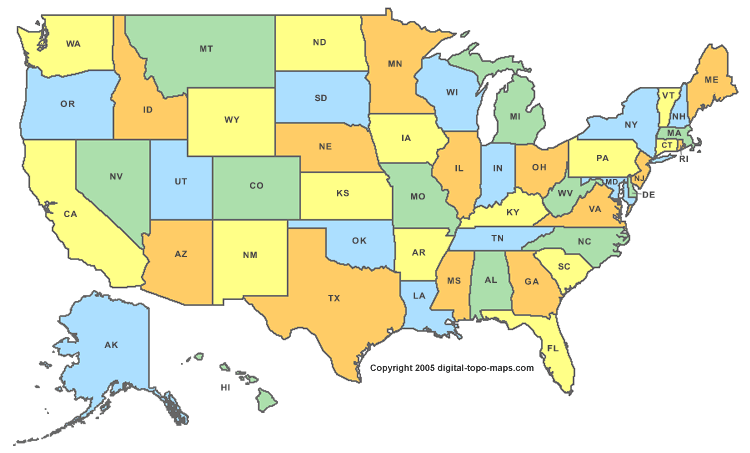
Map Courtesy of <a href="http://www.digital-topo-maps.com/county-map/">Digital-Topo-Maps.com
File history
Click on a date/time to view the file as it appeared at that time.
| Date/Time | Thumbnail | Dimensions | User | Comment | |
|---|---|---|---|---|---|
| current | ★ Approved revision 17:22, 10 September 2010 | | 750 × 453 (37 KB) | Murphynw (talk | contribs) | Map Courtesy of <a href="http://www.digital-topo-maps.com/county-map/">Digital-Topo-Maps.com |
You cannot overwrite this file.
File usage
The following 17 pages use this file:
- User:Caleblove1/Sandbox/Get-Involved6
- User:Caleblove1/sandbox/Meet-and-Talk
- User:Caleblove1/sandbox/NTTW
- User:Caleblove1/sandbox/Research-Groups
- User:Caleblove1/sandbox/project-hub2
- User:Caleblove1/sandbox/ways-to-participate
- User:Luccagenes/Sandbox/Maintenance2
- User:Luccagenes/Sandbox/ResearchWikiPage2
- User:Luccagenes/Sandbox/ScrollTableTest
- User:Luccagenes/Sandbox/TestMultiTable
- User:Luccagenes/Sandbox/TestPage1
- Template:Adbox2 News3
- Template:Adbox2 News4
- Template:Adbox2 News5
- Template:Adbox2 News6
- Template:Adbox2 News7
- Template:USmap